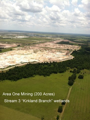
These five aerial photos of the S. Ft. Meade Mine Extension/Hardee
were taken on June 22 by an anonymous 3PR pilot.
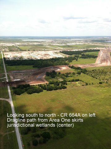
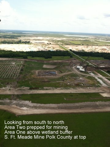
Area One is the 200 acres conceded to Mosaic in settlement agreement
in exchange for 14.2 acres of bayhead wetlands and 26 acres pasture.
As an unintended consequence of this settlement Mosaic moved 2 draglines east of
jurisdictional wetlands and positioned them to mine additional “upland” acreage
west of CR 664 A, shown in other photos.
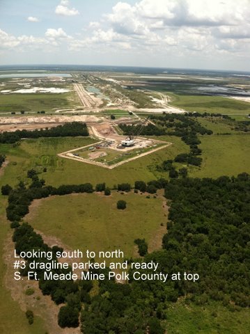
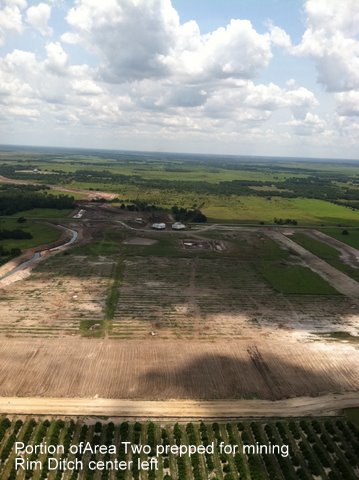
The Environmental Plaintiffs are awaiting the District Court’s decision on our
motion to impose an additional preliminary injunction on Area Two.
Mosaic is poised to mine.